
Source: Bureau of Meteorology
Issued at 11:47 am WST on Tuesday 23 January 2024
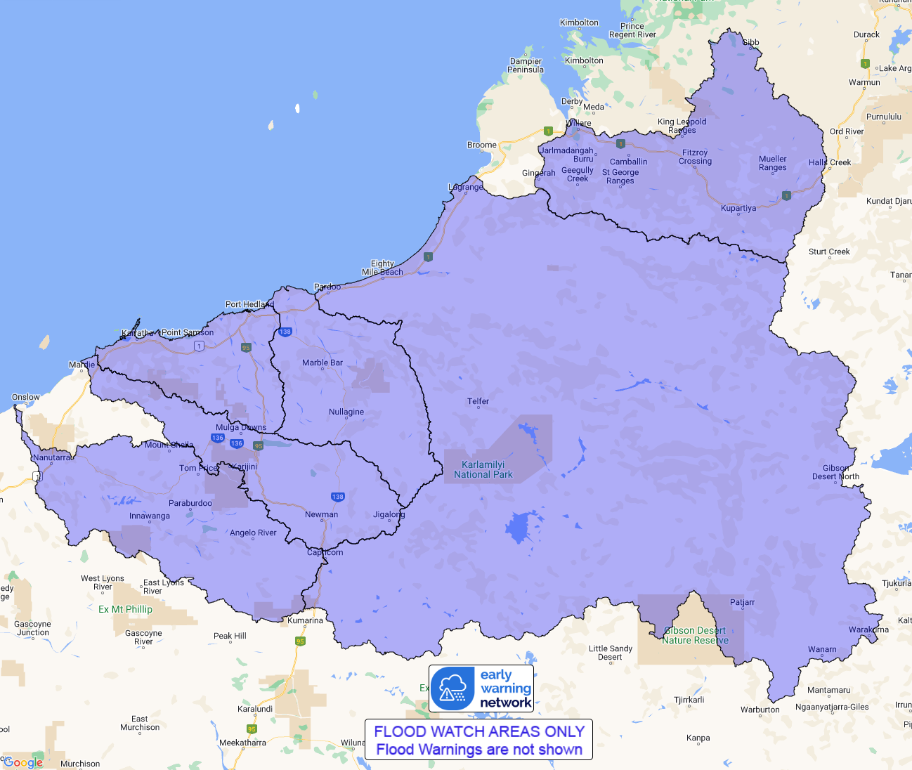
Flood Watch Number: 8
FLOODING POSSIBLE IN PARTS OF THE FITZROY RIVER, SANDY DESERT, DE
GREY RIVER , PILBARA COAST RIVERS, FORTESCUE RIVER AND ASHBURTON
RIVER FOR THE NEXT FEW DAYS
A deep tropical low over the western North Interior is expected to
track west or southwest, reaching the Pilbara on Tuesday. The
tropical low may become slow moving over the Pilbara from the
middle of the week, bringing heavy rainfall over the Flood Watch
area.
Catchments in the Flood Watch area are wetting up from recent
rainfall, which is resulting in rises in streams and creeks.
Heavy rainfall and thunderstorms are forecast for the next few
days across the Flood Watch area. Widespread daily rainfall totals
of 30-80 mm are forecast with isolated around 100 mm for the next
few days.
Minor to moderate flooding is possible with forecast rainfall.
Flooding may affect road conditions which is likely to impact
travel and movement across the Flood Watch area for the next few
days.
Catchments likely to be affected include:
Fitzroy River(Flood warning is current for the Fitzroy
River.)
De Grey River
Pilbara Coastal Rivers
Fortescue River
Ashburton River
Sandy Desert
Flooding is no longer expected in the following catchments: East
Kimberley Rivers, Sturt Creek District.
This flood watch is available by dialling 1300 659 213. For more
information on the Flood Watch Service visit
http://www.bom.gov.au/water/floods/floodWarningServices.shtml
Flood Safety Advice:
DFES advises people and communities to be aware that flooding is
possible and be prepared to relocate equipment and livestock. Watch
water levels. Travellers need to be aware that road conditions may
be adversely affected and travel plans may need to be reconsidered.
Do not drive into water of unknown depth and velocity.
Community information is available from DFES at
www.emergency.wa.gov.au/
Current river levels are available from Department of Water and
Environmental Regulation at
www.water.wa.gov.au/maps-and-data/monitoring/river-level-monitoring
Rainfall and River
Conditions Map
23/Jan/2024 03:57 AM


