
Source: Bureau of Meteorology
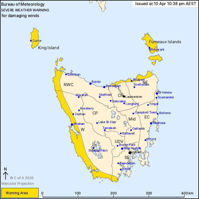
For people in King Island, Furneaux Islands and parts of Western,
South East, North East, North West Coast and Central North Forecast
Districts.
Issued at 10:38 pm Friday, 10 April 2026.
Damaging winds about northern Tasmania, broadening to the west on
Saturday.
Weather Situation: A trough crossed the state earlier today,
bringing strong west-northwesterly winds about northern Tasmania. A
second west-southwesterly change is expected on Saturday,
broadening the cold, wet and windy conditions.
DAMAGING WINDS averaging 55 to 65 km/h with peak gusts around 100
km/h are possible about northern Tasmania. Winds are likely to ease
but remain gusty for a period overnight into Saturday, before
DAMAGING WINDS redevelop throughout the warning area including
western Tasmania around sunrise.
Winds are expected to gradually ease below warning thresholds from
late Saturday night to Sunday morning.
Locations which may be affected include Strahan, Currie,
Whitemark, Bridport and George Town.
71 km/h mean winds were recorded at Low Head at 3:10 pm.
66 km/h mean winds were recorded at Flinders Island Airport at
2:13 pm.
The State Emergency Service advises that people should:
* Supervise children closely.
* Check that family and neighbours are aware of warnings.
* Manage pets and livestock.
* Secure outdoor items including furniture and play
equipment.
* Be prepared in case of power outages and report any outages to
TasNetworks on 132 004.
* Beware of damaged trees and power lines and take care when
driving.
* Listen to the ABC radio or check www.ses.tas.gov.au for further
advice.
* For emergency assistance contact the SES on 132500.
10/Apr/2026 12:44 PM

