
Source: Bureau of Meteorology
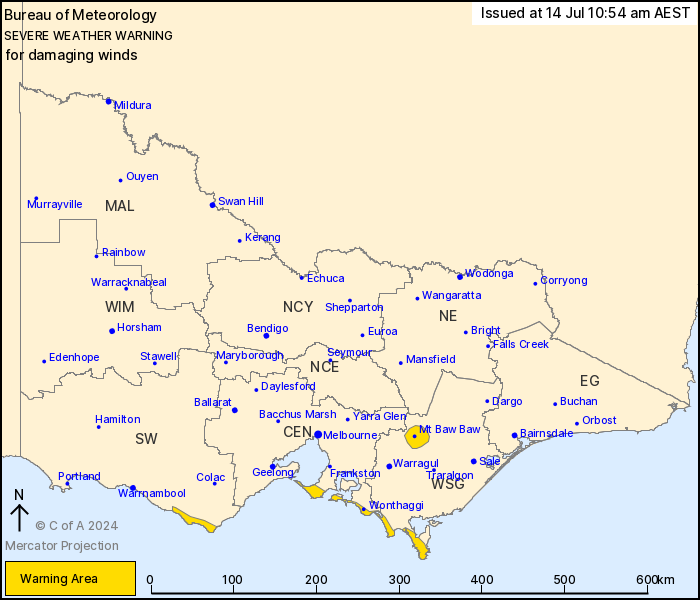
For people in parts of West and South Gippsland, Central and South
West Forecast Districts.
Issued at 10:54 am Sunday, 14 July 2024.
Damaging winds developing along parts of the southwest facing
southern coasts and Mt Baw Baw from Monday afternoon.
Weather Situation: A complex low pressure system currently lies to
the northeast of Tasmania. This low is forecast to track towards
the Bass Strait during Monday, with a series of associated troughs
crossing Victoria, resulting in strengthening southwesterly winds
along parts of the coastline and Mt Baw Baw.
For parts of the SOUTHWEST FACING SOUTHERN COASTS: DAMAGING WINDS
averaging 60 to 70 km/h with peak gusts of around 90 km/h are
possible for parts of the coastal fringe extending from Port
Campbell to Wilsons Promontory from late Monday afternoon, easing
overnight.
For MT BAW BAW: Strong winds averaging 50 to 60 km/h with DAMAGING
WIND GUSTS of around 90 km/h are possible from the early afternoon,
easing overnight.
Locations which may be affected include Wonthaggi, Rosebud, Tidal
River and Mt Baw Baw.
The State Emergency Service advises that people should:
* If driving conditions are dangerous, safely pull over away from
trees, drains, low-lying areas and floodwater. Avoid travel if
possible.
* Stay safe by avoiding dangerous hazards, such as floodwater,
mud, debris, damaged roads and fallen trees.
* Be aware - heat, fire or recent storms may make trees unstable
and more likely to fall when it's windy or wet.
* Check that loose items, such as outdoor settings, umbrellas and
trampolines are safely secured. Move vehicles under cover or away
from trees.
* Stay indoors and away from windows.
* If outdoors, move to a safe place indoors. Stay away from trees,
drains, gutters, creeks and waterways.
* Stay away from fallen powerlines - always assume they are
live.
* Be aware that in fire affected areas, rainfall run-off into
waterways may contain debris such as ash, soil, trees and rocks.
Heavy rainfall may also increase the potential for landslides and
debris across roads.
* Stay informed: Monitor weather warnings, forecasts and river
levels at the Bureau of Meteorology website, and warnings through
VicEmergency website/app/hotline.
14/Jul/2024 01:35 AM

